Archaeological Field Evaluation, Gloucestershire
A programme of Archaeological Field Evaluation was undertaken in connection with a proposed renewable energy site.
In Brief
Archaeological Field Evaluation
Location: GloucestershireKey Points
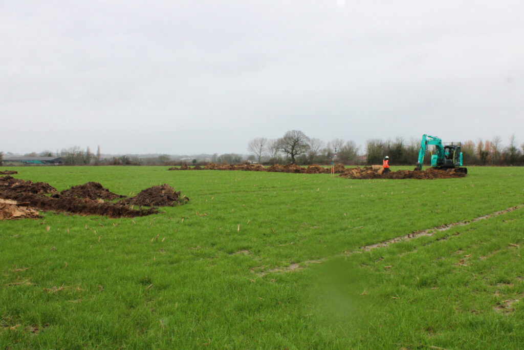
- Programme of fieldwork with 30 trenches excavated
- Features of medieval/early post medieval date were uncovered
- The site likely remined an agricultural hinterland throughout
Summary
The Site is located to the southeast of the small nucleated settlement of Earthcott Green, a hamlet of medieval origin located at the junction of the B4427 and B4059 in the parish of Alveston, between the settlements of Latteridge and Rudgeway.
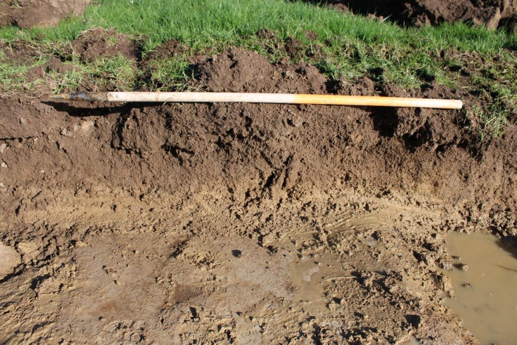
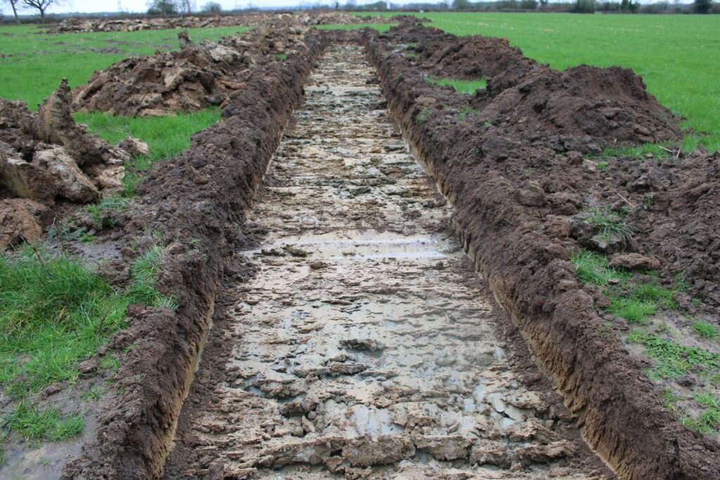
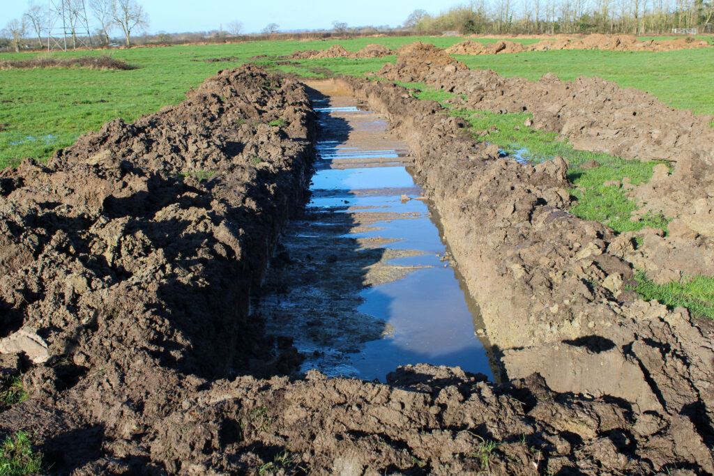
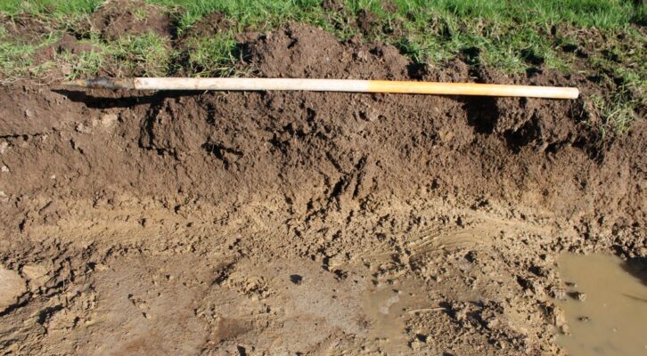
Of the 30 trenches opened, five flooded immediately and, although they could not be fully recorded, natural deposits were attained in all of these trenches. None of the trenches contained archaeological features of interest. Features of medieval/early post-medieval date conforming to the former ridge and furrow cultivation alignment were seen as faint traces present within Trench 008, Trench 015, Trench 018 and Trench 019.
This evaluation programme confirmed that the Site had remained an agricultural hinterland throughout. It is possible that the propensity to flood meant that it was considered unsuitable for occupation.
Results
Indications medieval/post early medieval cultivation features were uncovered and these were consistent with a pattern of ridge and furrow. The lack of Finds suggests that the area remained under pasture for some considerable time.