Geomatic Services
We have fully embraced the power of digital technologies to offer a range of geomatic applications from 3D modelling of physical object or areas to historic building recording, topographic survey and landscape visualisation.
These technologies dramatically increase the efficiency and accuracy of survey work compared with more traditional techniques of recording and measurement.
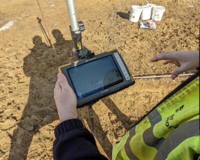
A topographic survey models the form and surface texture or grain of a site or landscape
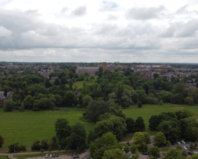
LVIA determines the likely effects of a planned structure on a landscape and its visual amenity.
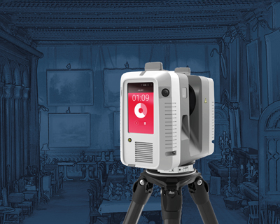
3D laser scanning offers a rapid and efficient means of digital representation and analysis.
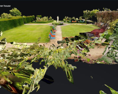
A visual inspection of an asset is carried out to determine its condition and issues of structural stability and potential risk.
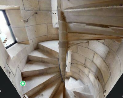
An accurate measured record of an historic building or structure may be required prior to alteration or destruction.
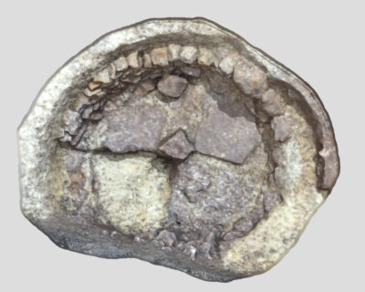
Archaeological 3D modelling is a technique to create a virtual representation of any object or surface.
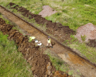
Unmanned Aerial Vehicle (UAV) technology has revolutionised our approach to the visualisation and modeling of archaeological sites and landscapes.
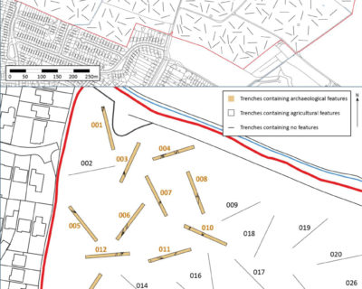
Geophysical survey offers a rapid non-intrusive but not wholly reliable method of detecting potential sub-surface archaeology.
