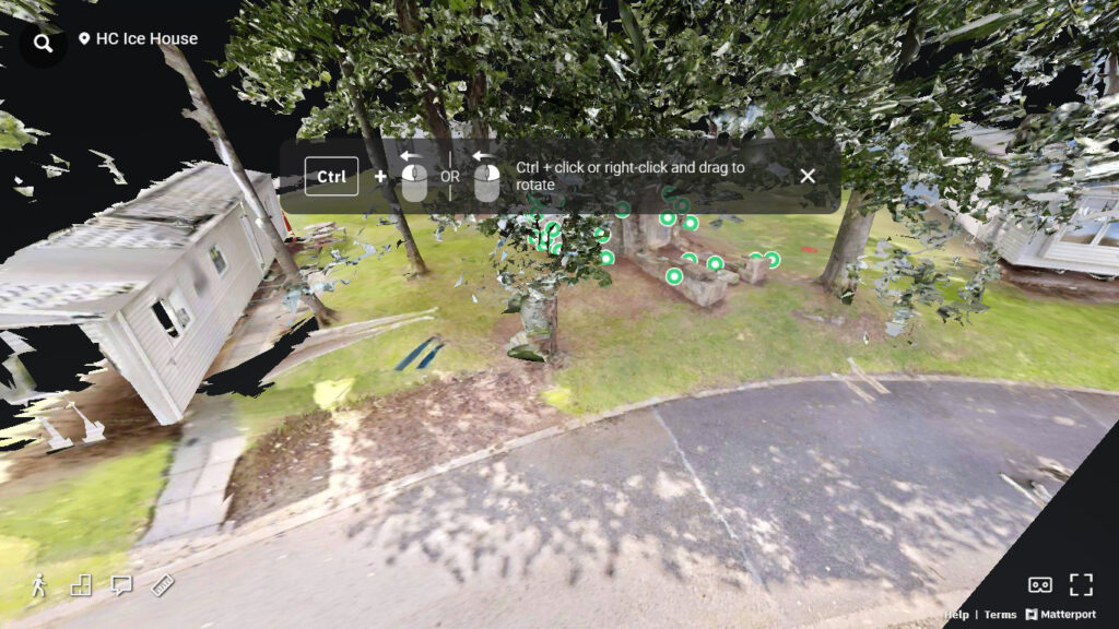
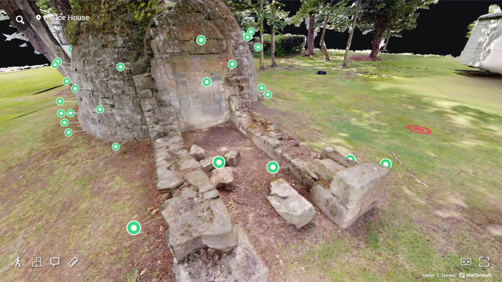
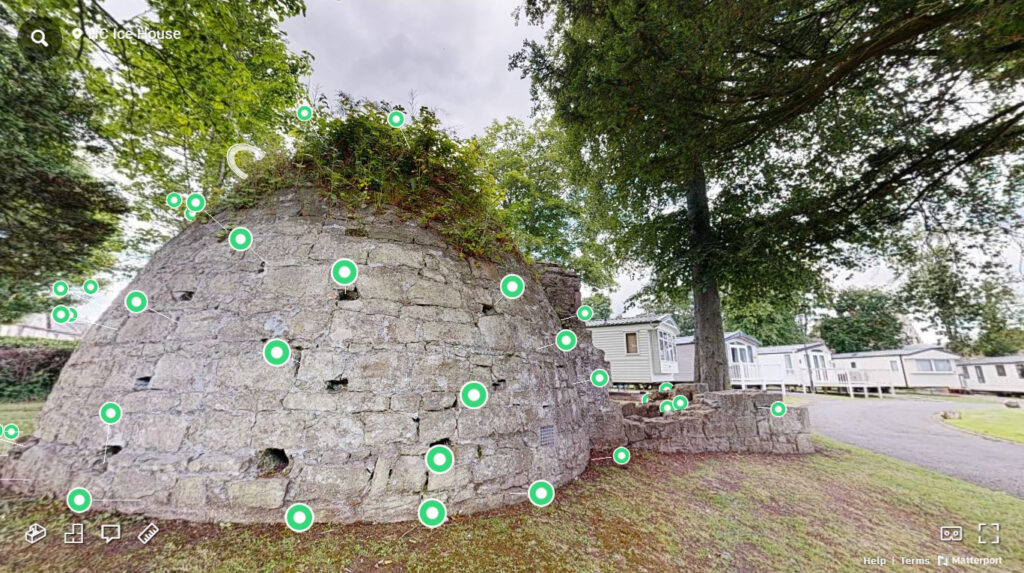
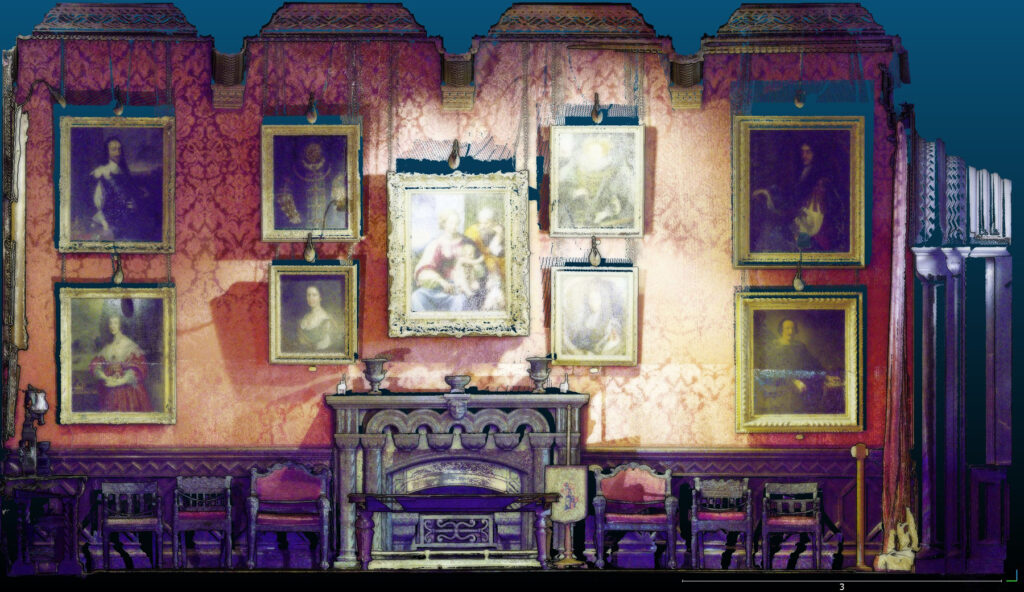
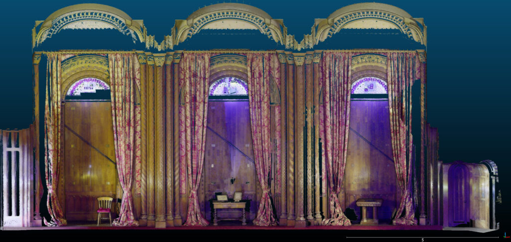
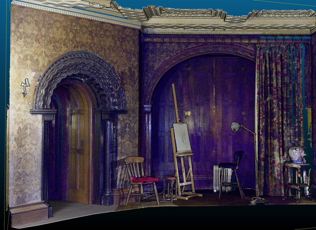
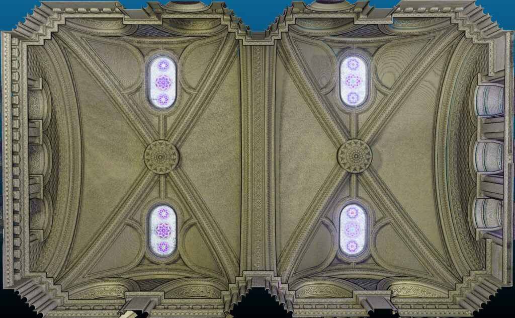
3D Laser Scanning
3D laser scanning offers a rapid and efficient means of digital representation and analysis, creating a high-resolution virtual replica of an object, building or area that can be viewed offsite and investigated in the round, from different angles and perspectives.
This technology generates a more complete dataset than is possible using Total Station or GPS surveys offering an unprecedented level of detail and the potential to gain insights that may not be apparent simply from physical observations.

What Happens Next?
Data is collected through a laser or lidar scanner and processed to create a 3D model from a physical object or area. Laser scanners detect through a laser emitter which measures how long the delay is between a beam of light being sent and then reflected off a surface. This creates a points cloud which is measurable, as each point has an x, y and z coordinate which gives geometric distances which can be extracted from a data set.
Because the dataset is stored as a points cloud, precise distance, volume, perimeter and surface area measurements can be made using processing software.
Through the use of interactive exhibits and virtual tours, 3D laser scanning opens the door to the public and offers people the opportunity to explore the past offsite as an immersive experience, fostering community involvement in the understanding and conservation of the historic environment.