Topographic Survey
Generally speaking, a topographic survey uses remote sensing equipment to model the relief, or ‘grain’, of a site or landscape.
A digitally based, metric survey produces a high-resolution three-dimensional image mapping the position and height of manmade and natural topographic features.
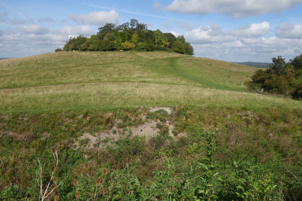
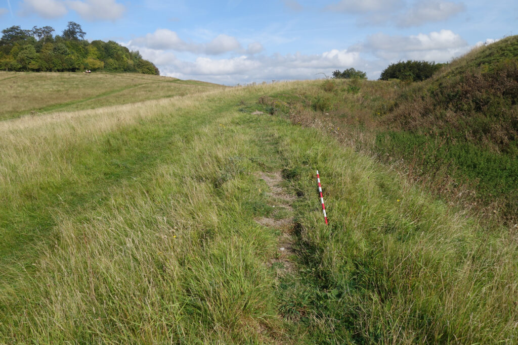
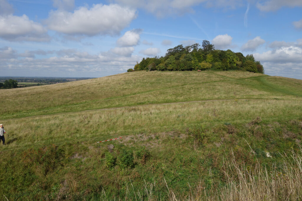
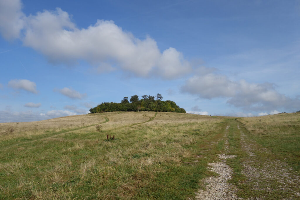
Our focus is primarily upon historic and archaeological landscapes and on visualising the ways in which earlier generations have shaped and adapted their environment. Our recording of the earthworks at Sinodun Hill Camp SAM and Roman Road SHINE provides a good example of topographic survey in action, allowing us to build an accurate and highly detailed picture showing the effects of human land use over millennia and the impacts of later rabbit colonisation and visitor footfall.
What Happens Next?
A topographic survey carried out using remote sensing equipment offers a rapid means of capturing the relief of an area and gather data on natural and artificial features and their arrangement.
Typically, all visible points on the ground surface that are detectable using a GPS or Total Station are captured and combined with UAV mapping and/or laser scanning data to create a point cloud. Line and level data can then be extracted and displayed on a 2D map in multiple formats or digitally in 3D on computer software where data can be interrogated and extracted into any required media.