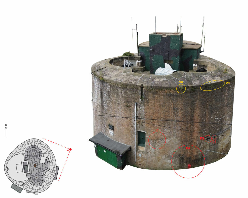
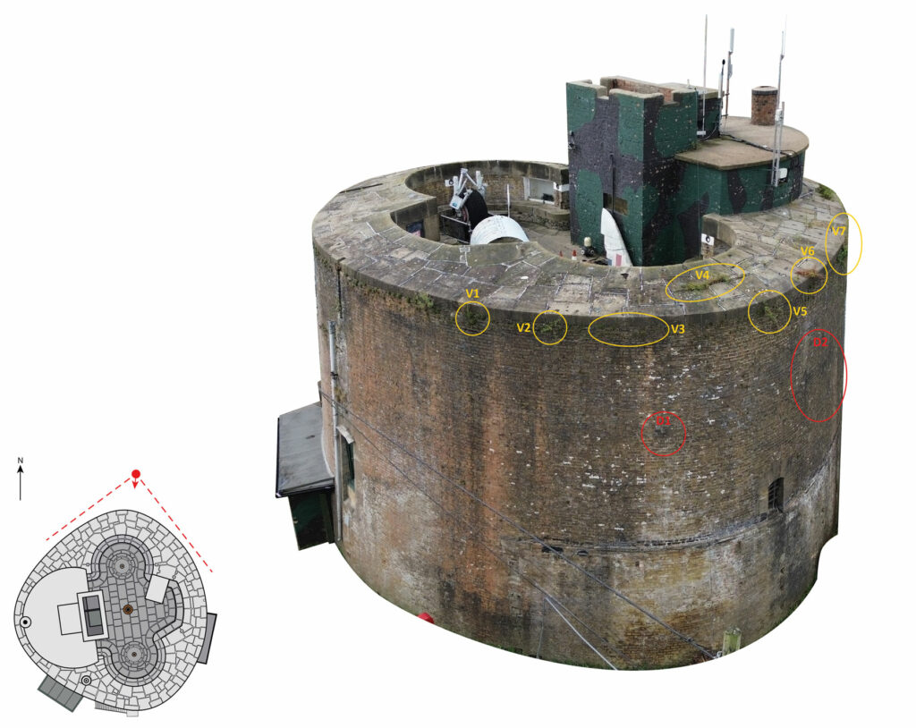
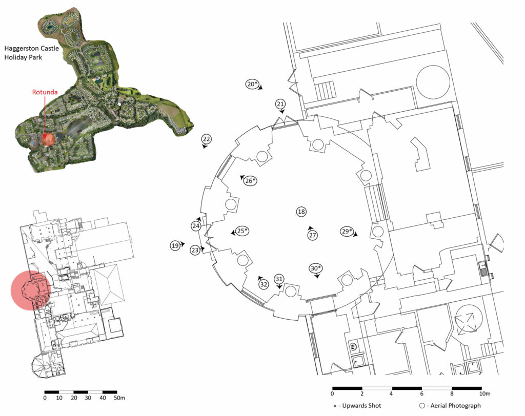
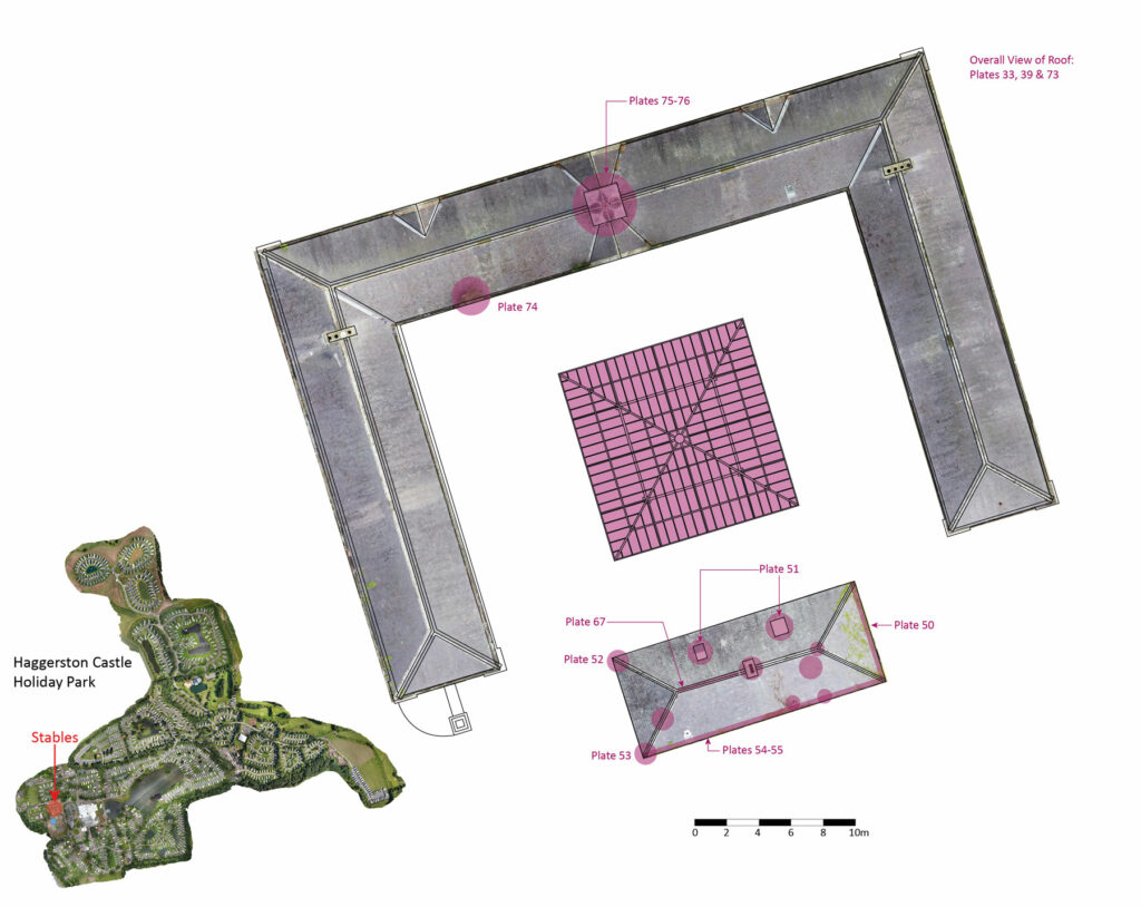
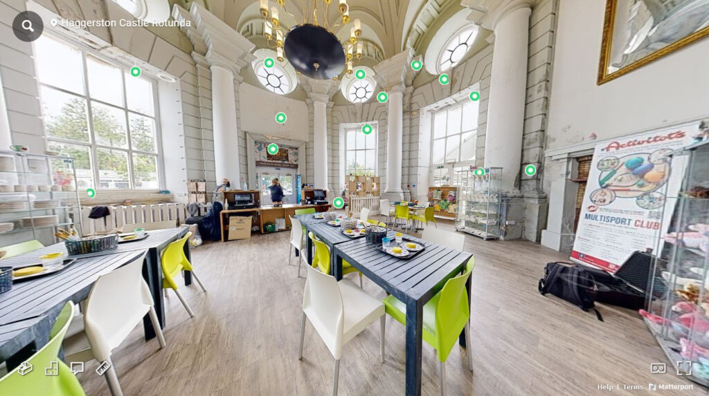
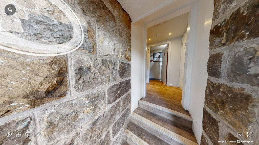
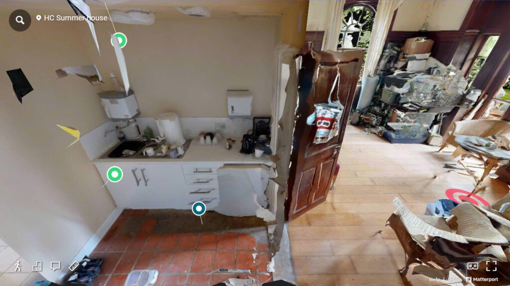
Visual Condition Survey
A visual inspection of an asset is used to provide a informed photographic survey to identify its current condition and potential associated risk.
The intended purpose of the VCS is to facilitate the quantification of physical areas of concern, erosion, organic material rooting and other associated causes of structural wear and tear so as to provide the basis of Conservation Management Plans (CMP) for Historic Environment.
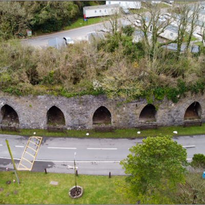
A good example of this is Black Rock Quarry Limekilns where the technology described below measured the impact of time on the SAM structures to assist the implementation of the recently completed management plan and its implementation.
It is important to note that it is not used as a method of Archaeological Standing Building Recording nor a Structural Survey as the criterial is completely different out to determine its condition and issues of structural stability and potential risk.

What Happens Next?
Surveys are typically undertaken using photogrammetry or with a combined approach including 3D laser scanning or even UAV recording depending on the asset.